


MeMo - Research Institute of Measuring and Modeling for the Built Environment

The institute's work is based on the novel approaches of 3D measuring and modelling research and knowledge management. In practice, this means the measuring and modelling of 3D objects, cities and people (using sensors, data collection, analysis etc.), creating location-based services, combining networks, creating virtual worlds as well as creating and transmitting knowledge, innovations and patents. KAP (knowledge based academic platform) methods and practices are used to integrate innovations and best practices into the society. KAP is both a way to share know-how within our team and to share the tacit knowledge to the rest of society.
Future challenges of the institute are to integrate spatial knowledge (including data measurement techniques, positioning, navigation, GIS) into the social value of the built environment and into housing, decision-making and future retail for healthier environments, smart places and cities.
See more on our website: https://memo.aalto.fi.
To learn about our ongoing projects, please see our project page Projects – MeMo (aalto.fi)
More detailed information on the Institute's activities in different areas is available as follows:
Aalto University
- Measuring and modelling of Built Environment - Director Hannu Hyyppä
- 3D, photogrammetry and 3D-studio – Studio manager, Vice Director Matti Kurkela
- Built Environment – Prof. Raine Mäntysalo
- Projects, culture sector and 3D – Academic coordinator Marika Ahlavuo
- Photogrammetry – Prof. Emeritus Henrik Haggrén
Finnish Geospatial Research Institute
- Remote sensing and photogrammetry, automated vehicles – Prof. Juha Hyyppä
- Navigation and positioning – Prof. Jarkko Koskinen
Latest publications
3D As-Built Environments in Extended Reality Applications : A Systematic Review
Mobile Laser Scanning for Road Pavement Distress Detection
Feasibility of using autonomous vehicle data for road rutting estimation
Benchmarking individual tree segmentation using multispectral airborne laser scanning data : The FGI-EMIT dataset
Method for estimating dimensions and visualising changes in multi-epoch point clouds
Combining single-date mobile and multitemporal airborne laser scanning for retrospective estimation of individual tree growth over a 10-year period in boreal forests
Robust tightly coupled MLS–ALS fusion with 2D and 3D LiDAR using local geometric uncertainty for accurate 3D mapping
Glacial ring forms on Axel Heiberg Island, Nunavut, Canada
Three-Dimensional Multitemporal Game Engine Visualizations for Watershed Analysis, Lighting Simulation, and Change Detection in Built Environments
Application of Ultra-Wideband to a Cut-to-Length Forest Harvester for Decimeter-Level Positioning Under Forest Canopies
Research group members
Follow us
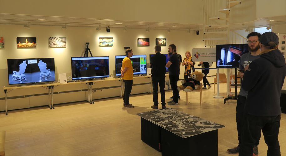
3D-studio
The 3D studio mainly contains 3D measuring devices such as laser scanners and cameras. In addition, the studio has workstations for data processing, 3D modeling and visualization.
Otakaari 4
Mechanical engineering 1, K1
